

Odisha braces for extremely heavy rainfall: IMD issues orange alert till June 20
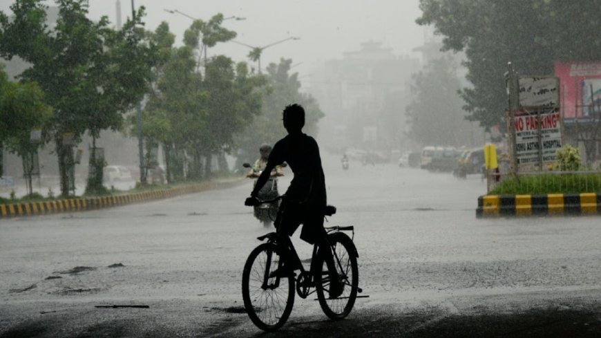
Bhubaneswar, June 17: The India Meteorological Department (IMD) has issued a significant warning for Odisha, forecasting isolated heavy to very heavy rainfall with instances of extremely heavy downpour and intense thunderstorm activity across the state until June 20th.
Residents are advised to prepare for adverse weather conditions as a low-pressure area over southwest Bangladesh and adjoining Gangetic West Bengal is set to intensify and move west-northwestwards. This system is expected to significantly enhance rainfall across Odisha.
Furthermore, squally weather with surface wind speeds reaching 30-40 kmph, gusting up to 50 kmph, is highly probable along the Odisha coast from June 17th to 18th, leading to rough sea conditions. Fishermen are strongly advised to avoid venturing into the sea during this period for their safety. The southwest monsoon has also advanced further, now covering all remaining parts of Odisha, contributing to the heightened rainfall.
An Orange Warning has been specifically issued for several districts including Keonjhar, Sundargarh, Mayurbhanj, Jharsuguda, Sambalpur, Balasore, Bhadrak, and Jajpur for the next three days. Mayurbhanj district is particularly vulnerable, with predictions of extremely heavy rainfall on June 18th.
Other districts like Keonjhar, Sundargarh, Jharsuguda, and Sambalpur will also experience heavy to very heavy rainfall. Thunderstorm and lightning activity with gusty winds are also expected in the next 24 hours. Stay updated with Odisha weather news and IMD rainfall warnings for your safety.