

Low-pressure system to bring very heavy rainfall to Odisha from July 24–26; IMD issues red alert for July 25
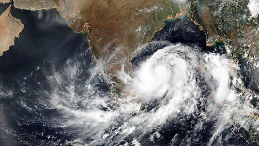
Bhubaneswar, July 23: Odisha is likely to experience intense rainfall activity from July 24 to 26, triggered by a low-pressure area expected to form over the north Bay of Bengal. According to the India Meteorological Department (IMD), this low-pressure system will develop under the influence of a cyclonic circulation, which is the remnant of Tropical Cyclone Wipha, likely to emerge within the next 24 hours.
In its latest midday bulletin, the IMD said the weather system will bring widespread heavy to very heavy rainfall across several districts in the state. The agency has issued an Orange Warning for July 24, a Red Warning for July 25, and another Orange Warning for July 26.
On July 23, Yellow Warnings have been issued for districts like Koraput, Malkangiri, Nabarangpur, Gajapati, Mayurbhanj, Rayagada, and Keonjhar, with forecast of heavy rain, thunderstorms, and gusty winds up to 30–40 kmph.
By July 24, very heavy rain is expected in Mayurbhanj, Keonjhar, Koraput, and Malkangiri, with thunderstorms and strong winds likely in parts of Sundargarh, Deogarh, Balasore, Bhadrak, Kendrapada, Jajpur, Dhenkanal, and Angul.
On July 25, the weather will peak in intensity, with extremely heavy rain forecast for Mayurbhanj and Keonjhar, and very heavy rain in Balasore, Bhadrak, Jajpur, Angul, Dhenkanal, Kendrapara, Jagatsinghpur, and Sundargarh, all accompanied by thunderstorms and gusty surface winds.
People in affected areas are advised to stay alert and follow official safety guidelines as the situation develops.