
Bhubaneswar, July 23: The India Meteorological Department (IMD) has forecast heavy rainfall and thunderstorms across several parts of Odisha on July 24 and 25, issuing a Yellow Warning (Be Aware) for multiple districts. The weather department has advised people to remain cautious as active monsoon conditions are likely to trigger heavy showers, lightning and gusty winds over the next two days.
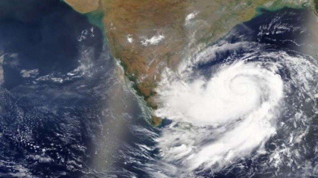
According to the latest IMD bulletin, an upper air cyclonic circulation over the northwest Bay of Bengal and adjoining north Odisha coast, extending between 5.8 km and 7.6 km above mean sea level, which was observed at 5.30 pm on Thursday, has become less marked by 8.30 am on Friday. However, its residual influence is expected to sustain rainfall activity across the state.
For July 24, heavy rainfall is very likely at one or two places in Baleshwar, Kendujhar and Mayurbhanj districts. Thunderstorms accompanied by lightning and gusty surface winds reaching 30-40 kmph are also likely at isolated places over Baleshwar, Bhadrak, Jajpur, Kendrapada, Jagatsinghpur, Cuttack, Sundargarh, Jharsuguda, Sambalpur, Kendujhar, Mayurbhanj, Gajapati, Ganjam, Puri, Khordha and Nayagarh.
On July 25, the IMD has forecast heavy rainfall at a few places across Odisha. A Yellow Warning remains in force for Baleshwar, Sundargarh, Kendujhar and Mayurbhanj, where heavy rain is expected at isolated locations. Thunderstorms with lightning and gusty winds of 30-40 kmph are also likely over several northern, western and coastal districts, including Bargarh, Deogarh, Angul and Dhenkanal.
Meanwhile, Paralakhemundi recorded the state’s highest maximum temperature at 33.2°C, while Boudh registered the lowest minimum temperature of 18.3°C during the last 24 hours.
The IMD has urged residents, particularly those in vulnerable and low-lying areas, to remain alert, avoid unnecessary travel during thunderstorms, and follow official weather advisories to ensure their safety.
About the Author