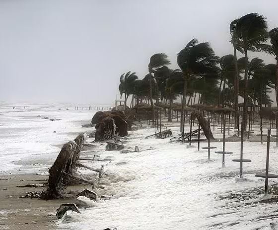

Bhubaneswar, Nov 18: Severe Cyclonic Storm Akvan has reached its peak intensity and is unlikely to strengthen further, India Meteorological Department (IMD) Director General Mrutyunjay Mohapatra said on Wednesday. The system is moving in a north-northwest direction and is likely to cross the coast between Narsapur and Puri, bringing strong winds and heavy rainfall to parts of the east coast.
Briefing the media on the approaching cyclone, Mohapatra said the system was currently packing wind speeds of 90-100 kmph over the sea, with gusts reaching up to 110 kmph. He clarified that there was no possibility of further intensification as the cyclone had already attained its maximum strength.
According to the IMD, Odisha is likely to experience heavy to very heavy rainfall on November 19 as the cyclone moves closer to the coast. Rainfall activity is expected to gradually increase, with southern districts likely to bear the maximum impact.
Mohapatra warned that some districts in southern Odisha could receive extremely heavy rainfall ranging between 20 and 30 cm within 24 hours.
Ganjam, Gajapati, Khordha and Puri have been identified as particularly vulnerable to extremely heavy rainfall on November 19. Authorities are closely monitoring the situation in these districts in view of the possibility of intense rainfall and its impact on normal life.
The IMD chief also cautioned that the impact of the cyclone would not be limited to southern Odisha. Several districts in northern Odisha may also experience heavy rainfall under its influence.
With the cyclone approaching the east coast, residents in vulnerable areas have been advised to remain alert and follow official weather bulletins and instructions issued by the administration.
The authorities are expected to continue preparedness measures to deal with possible waterlogging, road disruptions and other weather-related emergencies. People have been urged to avoid unnecessary movement during periods of intense rainfall and strong winds.
About the Author