
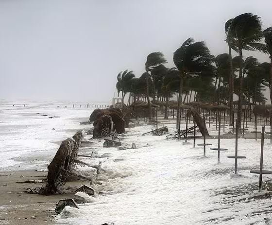
Bhubaneswar, Nov 13: A developing weather system over the Bay of Bengal has raised the possibility of a cyclonic storm forming next week, prompting meteorologists to closely monitor its movement and intensity.
According to senior India Meteorological Department (IMD) scientist Uma Shankar Dash, who shared an update on his X handle, a low-pressure area is currently active over the southeastern Bay of Bengal and is likely to intensify over the coming days.
The system is expected to become a well-marked low-pressure area on November 14 before strengthening into a depression on November 15. It may further intensify into a cyclonic storm over the central Bay of Bengal by the evening of November 16.
However, different global weather models have indicated varying possibilities regarding the system’s movement, direction and probable landfall location. Consequently, the IMD has not yet issued a clear indication of its likely track or potential impact on coastal regions.
Meteorologists believe that a more reliable assessment of the system’s trajectory and intensity will be possible once it develops into a depression.
According to the IMD, the low-pressure area formed over the southeastern Bay of Bengal at 5.30 am on Friday under the influence of an upper-air cyclonic circulation over the central Andaman Sea and adjoining Andaman and Nicobar Islands. It continued to persist over the same region at 8.30 am.
The associated cyclonic circulation extends up to 5.8 km above mean sea level.
People, particularly those living in coastal areas, have been advised to closely follow official IMD bulletins over the next 48 hours. Further updates are expected as the system gradually evolves and its possible movement becomes clearer.
About the Author