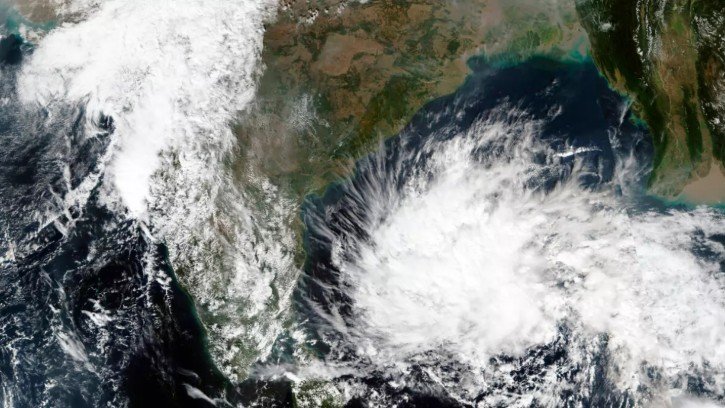
Bhubaneswar, May 7: A low-pressure system is likely to form over the southeast Bay of Bengal around May 10, according to forecasts from several global weather models, including the European model. However, weather experts have cautioned that uncertainty still remains regarding the system’s intensity and movement.
Meteorological models indicate the possible formation of a low-pressure area near the Sri Lanka and Tamil Nadu coast. Experts said the exact track and strength of the system are expected to become clearer after May 11, once the existing trough line over central India weakens.
Meanwhile, several parts of Odisha have been witnessing moderate rainfall and thunderstorm activity over the past few days under the influence of prevailing weather systems.
The India Meteorological Department (IMD) has forecast thunderstorms accompanied by lightning and gusty winds across most districts of the state from May 7 to May 13.
For Thursday, the regional weather office issued yellow warnings for districts including Mayurbhanj, Keonjhar, Sundargarh, Balasore, Bhadrak, Jajpur, Kendrapara, Cuttack, Puri, Khurda, Ganjam, Rayagada, Koraput, Malkangiri, Angul, Kandhamal, and Nabarangapur, predicting thunderstorms with gusty winds reaching 40–50 kmph.
Additionally, districts such as Jharsuguda, Bargarh, Sambalpur, Deogarh, Sonepur, Boudh, Nuapada, and Balangir are likely to experience thunderstorms with wind speeds of 30–40 kmph, mainly during afternoon and evening hours. Residents have been advised to remain alert and avoid open areas during lightning activity.