
xr:d:DAFcBA2EZZg:554,j:3487305583554366200,t:23061603
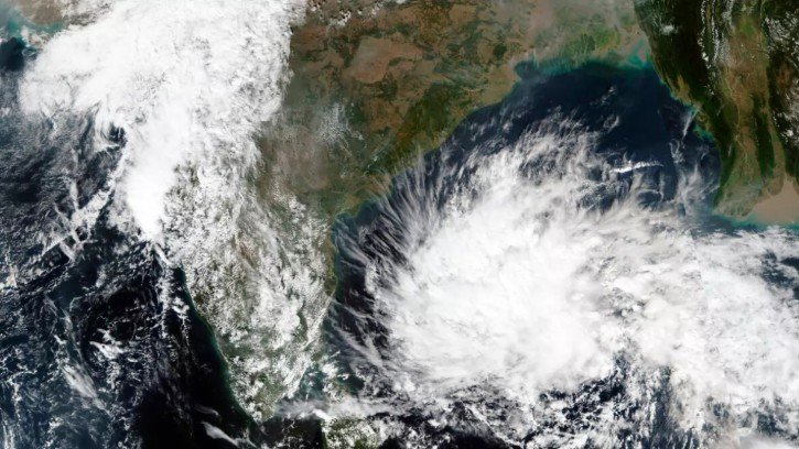
Bhubaneswar, Oct 23: A developing weather system over the Bay of Bengal is likely to intensify into a cyclonic storm and approach the north Andhra Pradesh–south Odisha coast on the morning of October 28, India Meteorological Department (IMD) Director General Mrutyunjay Mohapatra said on Friday.
Speaking to mediapersons, Mohapatra said a low-pressure area had formed over the east-central Bay of Bengal. The system is expected to intensify into a depression on October 24 and a deep depression by October 25. It may further strengthen into a cyclonic storm over the central Bay of Bengal by October 26 before moving towards the coast.
According to the IMD chief, wind speeds in the adjoining southeast and east-central Bay of Bengal were currently around 35–45 kmph, with rough sea conditions prevailing in the region.
The wind speed is likely to increase to 45–55 kmph by October 24. By October 25, it may reach 55–65 kmph, with gusts up to 75 kmph. Wind speeds could rise further, reaching around 90 kmph by October 26 as the system intensifies.
However, Mohapatra clarified that the maximum wind speed of the system after it develops into a depression had not yet been determined. The potential peak intensity would be assessed as the system evolves and more meteorological data become available.
The IMD is closely monitoring the system’s movement, intensity and possible impact on coastal areas. Further updates and advisories are expected as the weather situation develops.
Coastal residents are advised to follow official IMD bulletins and instructions issued by local authorities. The projected track and intensity may change with subsequent forecasts.
About the Author