
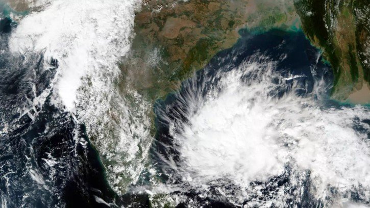
Bhubaneswar, Oct 9: A low pressure area is likely to form over the southeast Bay of Bengal around October 13 under the influence of a cyclonic circulation, the India Meteorological Department (IMD) said on Friday.
According to the weather department, a cyclonic circulation is currently active over the Gulf of Thailand and adjoining areas, extending up to 7.6 km above mean sea level. The system is likely to move into the Andaman Sea by October 11.
Under its influence, a low pressure area is expected to develop over the southeast Bay of Bengal around October 13. The weather system is being monitored by meteorologists, although further details about its possible movement and intensity will depend on subsequent developments.
Meanwhile, the withdrawal of the Southwest Monsoon has begun in Odisha, with the process advancing across parts of the state’s western region. According to the latest update, the monsoon has started retreating from some areas of Bargarh, Jharsuguda and Sundargarh districts.
The withdrawal marks the gradual end of the rainy season in Odisha after months of monsoon activity. The IMD has indicated that the monsoon is likely to withdraw from some more parts of eastern India over the next three to four days.
At the national level, the Southwest Monsoon is expected to withdraw completely from the entire country between October 15 and 21, the weather agency said.
The possible formation of the low pressure area over the Bay of Bengal comes as the monsoon withdrawal progresses across eastern India. Such systems can influence regional weather conditions, but their eventual impact depends on their development, movement and intensity.
The IMD is expected to provide further updates as the cyclonic circulation moves towards the Andaman Sea and the possibility of low pressure formation becomes clearer.
About the Author