

Low-pressure area forms over Bay of Bengal; IMD predicts rain and thunderstorms in Odisha
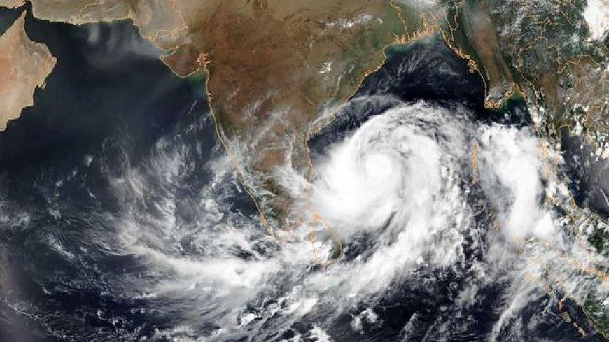
Bhubaneswar, April 7: A low-pressure area has developed over the central parts of the south Bay of Bengal, influenced by an upper-air cyclonic circulation positioned over the southeast Bay of Bengal and its surrounding areas.
The India Meteorological Department (IMD) confirmed the formation of this system at 8:30 AM on Monday, stating that the associated cyclonic circulation extends up to 5.8 km above the mean sea level.
According to the IMD, the system is expected to gradually move northwestward over the southwest Bay of Bengal until April 8. It is then likely to drift nearly northward over the west-central Bay of Bengal during the subsequent 48 hours.
As per the IMD’s midday bulletin, light to moderate rain or thundershowers may occur during the afternoon or evening in districts including Balasore, Bhadrak, Jajpur, Kendrapara, Cuttack, Jagatsinghpur, Puri, Khurda, Nayagarh, Ganjam, Gajapati, and others. Dry weather will likely prevail across the rest of Odisha from April 8 to 14.
A Yellow Warning has been issued for thunderstorms with lightning and gusty winds (30–40 km/h) in select districts between April 9 and 11.
While no major change in day temperatures is expected in the next 24 hours, a drop of 2–3°C is likely thereafter. Some districts such as Angul, Sambalpur, Bolangir, and Titlagarh may still see temperatures touch or exceed 40°C.