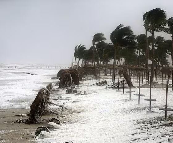

Bhubaneswar, Nov 17: Cyclonic Storm ‘Akvan’ over the south and adjoining west-central Bay of Bengal is likely to intensify into a Severe Cyclonic Storm by Tuesday evening and further strengthen into a Very Severe Cyclonic Storm by the morning of November 19, the India Meteorological Department (IMD) said in its midday bulletin on Tuesday.
The weather system is expected to move northwestwards and cross the Andhra Pradesh and Yanam coasts between Nellore and Tuni around noon on November 20 as a Very Severe Cyclonic Storm. At the time of landfall, it is likely to pack maximum sustained wind speeds of 120-130 kmph, with gusts reaching up to 145 kmph.
According to the IMD, the cyclone was centred over the south and adjoining west-central Bay of Bengal at 8.30 am on Tuesday, near latitude 12.2°N and longitude 85.7°E. It was moving north-northwestwards at a speed of three kmph and lay approximately 790 km south of Gopalpur in Odisha.
Under its influence, Odisha is likely to experience widespread rainfall over the next few days, with several districts expected to receive heavy to very heavy showers.
On November 18, light to moderate rain or thundershowers are likely at isolated places in 13 districts, including Baleshwar, Bhadrak, Jajpur, Kendrapada, Jagatsinghpur, Cuttack, Mayurbhanj, Gajapati, Ganjam, Puri, Khordha and Nayagarh.
The IMD has issued a Yellow Warning for November 19, forecasting heavy rainfall in Gajapati, Ganjam and Puri. Thunderstorms, lightning and gusty winds reaching 40-50 kmph are also likely in isolated areas.
Rainfall activity is expected to intensify further on November 20. Heavy to very heavy rainfall is forecast at isolated places in Kendrapada, Jagatsinghpur, Gajapati, Ganjam and Puri districts. These areas may also experience thunderstorms, lightning and gusty winds of 50-60 kmph.
Other districts, including Baleshwar, Bhadrak, Jajpur, Cuttack, Angul, Dhenkanal, Kendujhar, Mayurbhanj, Boudh, Kandhamal, Rayagada, Koraput, Malkangiri, Khordha and Nayagarh, have also been placed under weather warnings for heavy rainfall and thunderstorms.
The IMD’s forecast indicates that coastal and southern Odisha districts could experience the most significant weather activity as the cyclone approaches the Andhra Pradesh coast.
About the Author