
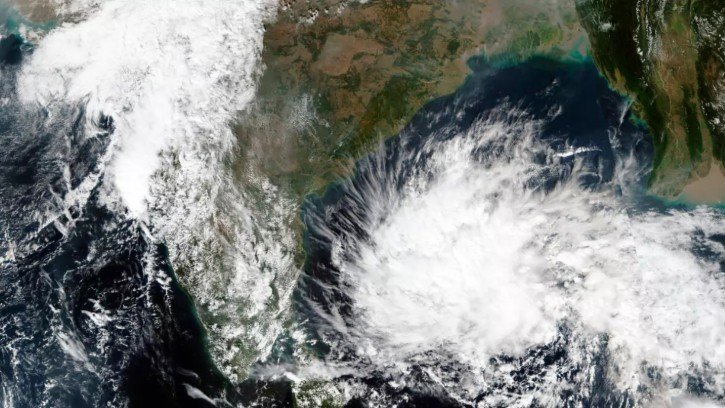
Bhubaneswar, Oct 21: A low-pressure area is likely to form over the southeast and adjoining east-central Bay of Bengal around October 23, with the system expected to move northwestwards and intensify further, the India Meteorological Department (IMD) said on Wednesday.
In its latest weather bulletin issued at 5.30 am, the IMD reported that an upper-air cyclonic circulation over the Gulf of Thailand and adjoining parts of Thailand and Myanmar continued to persist over the same region.
According to the weather agency, the cyclonic circulation is likely to emerge over the North Andaman Sea on Wednesday. After entering the sea region, it is expected to move west-northwestwards, creating favourable conditions for the development of a low-pressure system over the Bay of Bengal.
Under the influence of this circulation, a low-pressure area is likely to develop over the southeast and adjoining east-central Bay of Bengal around October 23, the IMD stated.
The weather system is subsequently expected to continue moving northwestwards and intensify further. However, the department has not confirmed the formation of a cyclone, and the system’s future development will depend on evolving atmospheric and oceanic conditions.
The development is being closely monitored by meteorological authorities, with further updates expected as the system progresses over the Bay of Bengal.
The formation and intensification of low-pressure systems over the Bay of Bengal can influence weather conditions along India’s eastern coast. However, the potential impact on Odisha and neighbouring coastal regions will depend on the system’s eventual track, intensity and associated rainfall patterns.
The IMD is expected to issue further forecasts as more information becomes available.
About the Author